Seasonal water flow
Water volume can vary substantially, so current conditions are checked before the traveler is promised a particular visual experience.
Tis Abay is best planned as a real landscape excursion rather than a fixed postcard. Water flow changes, walking conditions matter, and the strongest route connects the falls back to Bahir Dar, Lake Tana and the wider Blue Nile story.
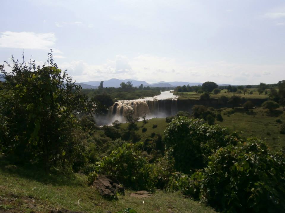
Image credit: Barrowbob · CC BY-SA 4.0 · Wikimedia Commons

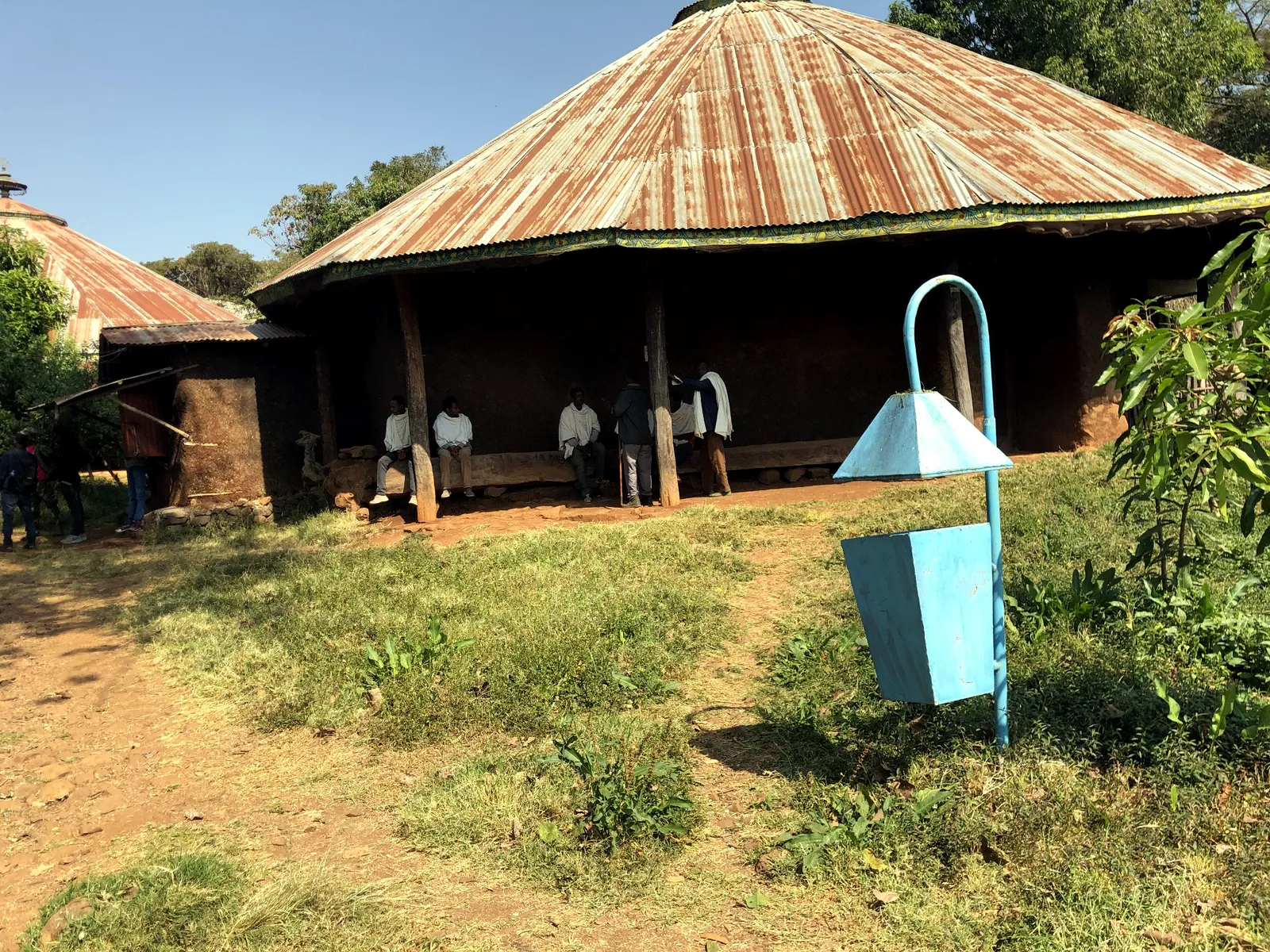

The falls day can combine transport from Bahir Dar, a local guide, walking, rural context and time at the falls. The itinerary is adjusted to current flow and weather rather than pretending the experience is identical year-round.
Water volume can vary substantially, so current conditions are checked before the traveler is promised a particular visual experience.
Trail, bridge and weather conditions affect the shape and difficulty of the visit; pacing is adjusted to the traveler.
The best story connects the falls to the source-region identity around Bahir Dar and Lake Tana instead of isolating the waterfall from the journey.
The hero image is licensed for reuse under CC BY-SA 4.0 with attribution. Ethiopia Tours also has owned Bahir Dar lake, monastery, craft and guide imagery, while current vertical/horizontal Blue Nile B-roll remains a partner-media acquisition target.
Licensed Blue Nile Falls photography plus owned Lake Tana, guide, monastery and city-context imagery can support the destination page immediately.
Current vertical/horizontal falls B-roll from Bahir Dar tourism or a local partner, with explicit website/social/LTX reuse permission.
Primary factual source: Bahirdar City Culture Tourism and Sport Sector. Ethiopia Tours uses the source for destination context; current access, pricing, schedules and permissions are reviewed before itinerary confirmation.